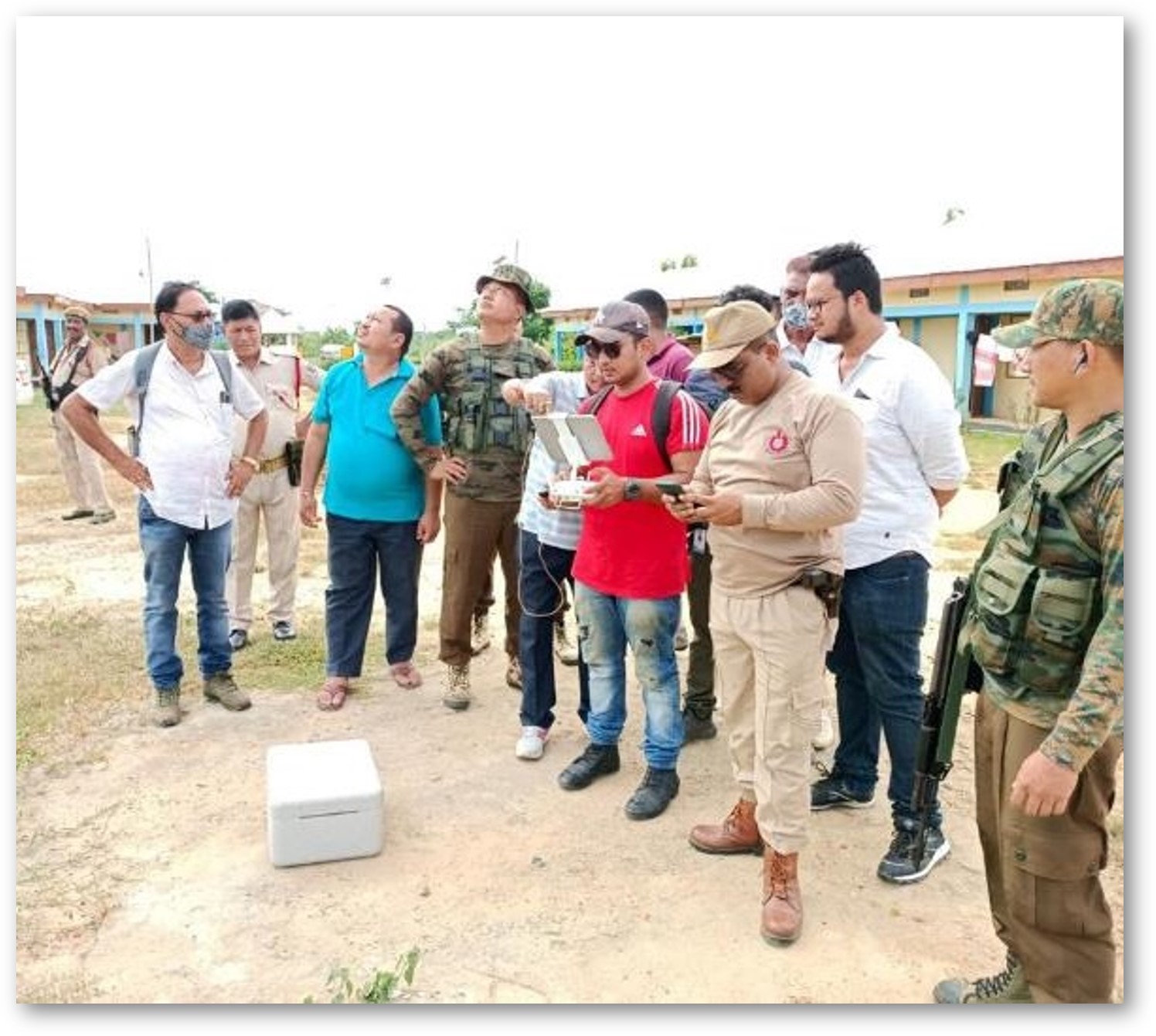
Disaster Management Solutions
CESTA provides aerial solutions for disaster risk reduction, offering services such as pre-flood management, pre-tsunami management, pre-earthquake management, and pre-landslide/avalanche mitigation. These solutions include identifying high-risk areas, detecting high land, planning evacuation routes, simulating floods, analyzing rainfall, and creating detailed maps of locations prone to disasters. Additionally, CESTA offers emergency response services, structural integrity assessments, search and rescue operations, reconnaissance, and mapping to assist in disaster preparedness and response efforts. Through advanced aerial technology and data analytics, CESTA aims to predict, mitigate, and manage the impacts of disasters effectively.
A) Services Before a Disaster
Virtual Simulation of a Disaster Scenarios
Risk Assessment by Mapping
Create an emergency management plan
Detection of disaster-prone buildings and places
Plan for an alternate location.
Pre-Flood Management/Pre Tsunami-Management
Identification of High-Risk Areas
Highland Detection
Route Planning for Evacuation or Supply
Flood Modelling/Simulation
Volumetric Analysis of Water
Simulation of Rain
Solution of Urban/Rural Flood Issue
Pre-Earthquake Management
Identification of High-Risk Areas in Red, Yellow and Green Zones prior Earthquake
Rescue Planning in the Red and Yellow Zones before disaster
Detailed Map of the Location before the event
Pre-Identification of Nearest Safe Zone
Pre-Planning and Distribution of Disaster Relief Team as per Zones
Early warning and notice to the House owner as per building conditions
Pre-Landslide/Avalanche Mitigation and Prevention
Identification of Landslide Area through GIS Mapping using Drone
By Analyzing Slopes, Vegetation and Rainfall we can detect High Risk Area
Calculating landslide/Avalanche volume using Aerial Data
Early warning or Notice to the people who are under landslide Zones
B) Solutions After a Disaster
Emergency Response:
Rapid Aerial Investigation
Safety Procedures and Evacuation monitoring
Structural Integrity Assessment
Real Time Visuals
Access to Hard-to-Reach Areas
Search and Rescue Operation:
Search in Vast Area
Thermal and IR Camera
Reconnaissance and Mapping:
Quick Survey for Rescue Planning
Volumetric Analysis (Quantity of Excess Material to Remove)
3D Model Creation for Planning Rescue
Detection of Fault Area